


Hughes, William; Long, George. An Atlas of Classical Geography...with A Sketch of Classical Geography and other Additions: Containing Fifty-two Maps and Plans on Twenty-six Plates, with an Index of Places. New York: Sheldon & Company, 1870. American Edition. [9406]
Quarter black leather with black cloth boards, the whole decorated in blind, gilt title to top board, spine ends & corner tips with fraying/chips, 10 1/4 x 7 1/4 inches, tight. 1871 owner's signature on ffep. 32 pp. of text explaining the plates; 26 plates (many are double) outlined in colors by hand; followed by pp. 33-76, which is an Index to the plates. Text & plates very good. Good. Hardcover.
This American edition was first published in 1856.
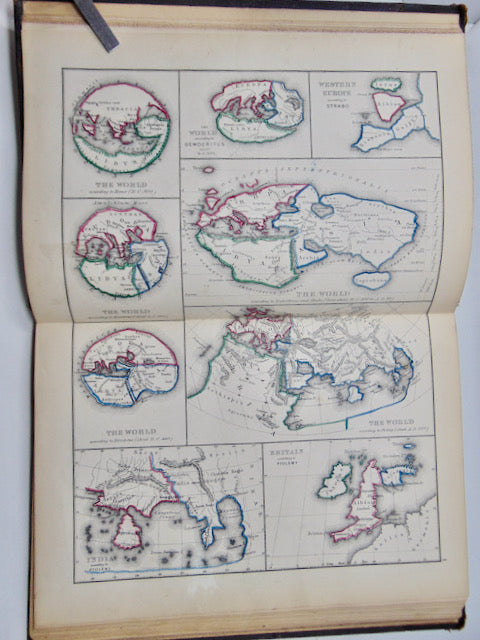
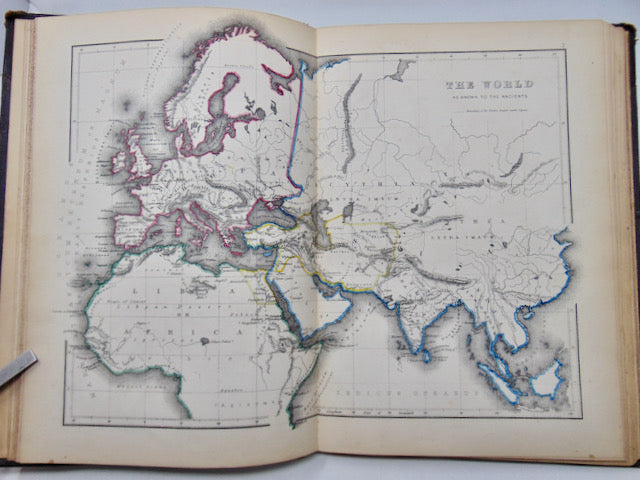
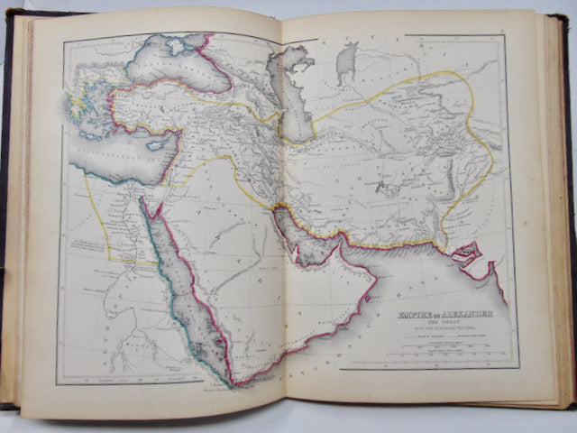
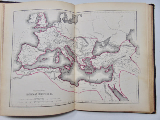
One of the significant additions of this edition is to add boundaries to the maps. Several additional plates were also added, to show the progress of Geography as understood by the Ancients, and Topographical plans of several places important to the understanding of Ancient History.